

Qlik GeoAnalytics®
Transform your business with insights from location based data
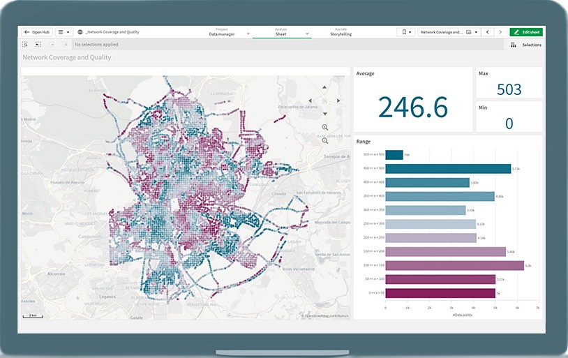
GeoAnalytics goes beyond visualization, offering robust mapping capabilities and built-in support for advanced spatial analysis. This functionality caters to a wide range of geoanalytic use cases, revealing crucial geospatial information and exposing hidden geographic relationships.
High performance, interactive mapping
Easily create maps using automatic geo-data lookup and then overlay them with different visualizations.
- Enhance productivity with on-the-fly location lookup capabilities.
- Improve understanding by exploring geoanalytics information and relationships within a single map visualization.
- Reduce overhead and expenses by eliminating the need to maintain and manage access to a separate mapping database.
Gain geospatial insight
Quickly reveal cartographic information to gain insights into patterns not easily interpreted through tables or charts, enhancing the understanding of the complete data story.
- Explore and analyze geospatial relationships beyond map visualizations.
- Efficiently access, visualize, and analyze existing geospatial-related data and applications.
- Gain deeper insights into patterns that may be challenging to interpret through traditional tables or charts.


Broad location analytics use cases
Leveraging a comprehensive range of mapping and geospatial capabilities with a shared set of tools and technologies, Qlik can address diverse location-related use cases. Extend mapping and location analytics to every user within the organization and beyond to the ecosystem.